Study of automatic detection and counting of deer, by drone, at night, with thermal sensor
As part of PROTEGE, the Conservatory of Natural Spaces of New Caledonia (CEN) and the Ecotone Company evaluated the theoretical and practical feasibility of using UAVs for automatic detection and monitoring of deer abundance at night and proposed and tested an aerial abundance index specific to New Caledonian Forest environments.
One of the first principles of monitoring wild populations, whether invasive or not, is that abundance and monitoring information accurately describe the status or trend of those populations. Therefore, ecological monitoring of wild species has become essential to understanding population dynamics.
Accordingly, emerging technologies are increasingly adopted by ecologists to improve data collection and identify new data previously unavailable. This is the case fordeer monitoring by thermal drones near high-altitude tropical rainforests in New Caledonia.
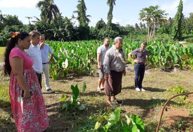
Through PROTEGE, the CEN has contracted with Ecotone, with co-funding from the Rural Agency, an evaluation of the technical feasibility of monitoring deer abundance by drone. More precisely, the first objective was to define modalities for deer detection and counting on a given territory and to specify the constraints and costs of implementation. The second objective, based on the results, was to propose and test an aerial abundance index, relevant and simple to deploy, which will allow to monitor the abundance of deer populations as a complement to the monitoring of impacts on understory forests and to evaluate the benefits of regulatory actions.
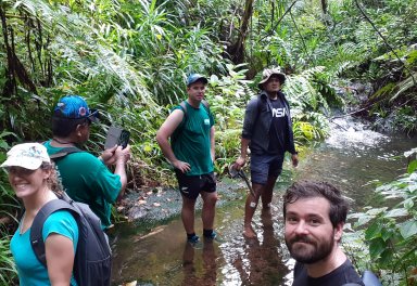
Drones are a light, practical, fast, and projectable tool meaning to detect, locate, and evaluate the abundance of deer in areas that are difficult to reach, allowing for silent, non-disruptive, replicable, and inexpensive monitoring in terms of time and human resources. n addition,I, prior to the regulation actions, drones would help locating the areas of concentration of the herds, thus allowing to mobilize the hunting effort on the best sector and increase the effectiveness of the regulation actions.
The feasibility study has been completed. Two distinct protocols were developed to adapt to the constraints of slope and vegetation cover. A specific and particularly innovative algorithm was also developed to automatically count the deer detected from the videos recorded during flights. The deployment of these protocols and the aerial abundance index by drone will now be launched in all the regulation areas of the project.
Find the complete study below
Source: Conservatory of natural spaces of New Caledonia